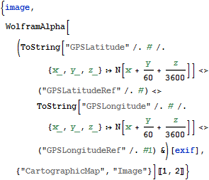
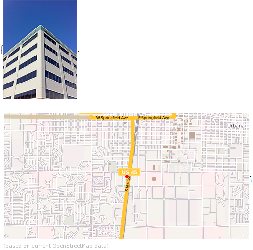
Import GPS Information from JPEG and View Local Map with Wolfram|Alpha
Import GPS information from JPEG and view local map with Wolfram|Alpha.
| In[1]:= | X |
| In[2]:= | X |
| In[3]:= | X |
| Out[3]= |  |
| In[4]:= |  X |
| Out[4]= |  |
| « View all new features in Mathematica 9 | ◄ previous | next ► |
| In[1]:= | X |
| In[2]:= | X |
| In[3]:= | X |
| Out[3]= |  |
| In[4]:= |  X |
| Out[4]= |  |