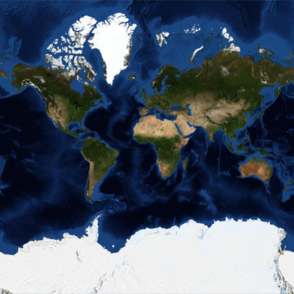
Satellite Tiles for the Earth
This is a Mercator map of the Earth using processed satellite imagery.
In[1]:=
GeoGraphics["World", GeoProjection -> "Mercator",
 GeoBackground -> "Satellite"]
Out[1]=
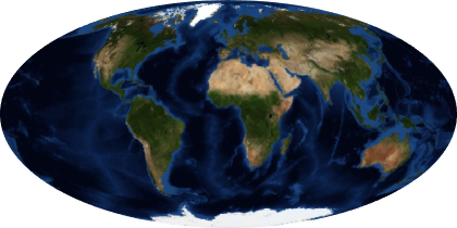
Use a different projection.
In[2]:=
GeoGraphics["World", GeoProjection -> "Mollweide",
 GeoBackground -> "Satellite"]
Out[2]=
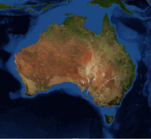
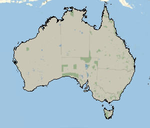
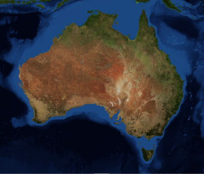
A map of intermediate scale.
In[3]:=
GeoGraphics[Entity["Country", "Australia"],
 GeoBackground -> "Satellite"]
Out[3]=
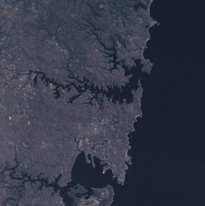
Zoom in to the area around a large city.
In[4]:=
GeoGraphics[Entity["City", {"Sydney", "NewSouthWales", "Australia"}],
 GeoBackground -> "Satellite"]
Out[4]=