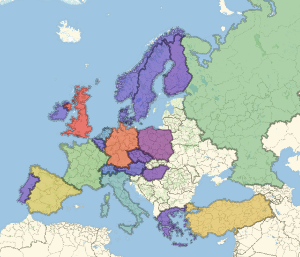
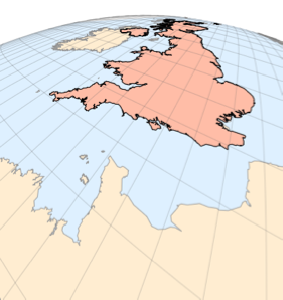
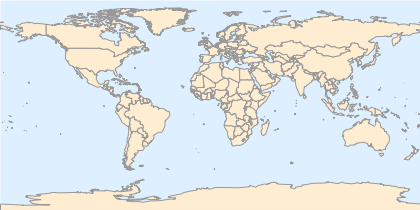
국경
새로운 지도 개요 스타일 "CountryBorders"를 사용합니다.
In[1]:=
GeoGraphics["World", GeoBackground -> "CountryBorders"]Out[1]=
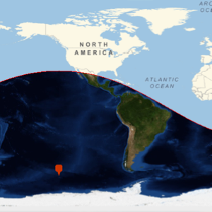
국경은 현재와 과거의 것을 모두 볼 수 있습니다. 다음은 루이지애나 매입 직전인 1803년의 북미 부분 지도 입니다.
In[2]:=
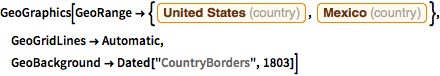
GeoGraphics[
 GeoRange -> {Entity["Country", "UnitedStates"],
   Entity["Country", "Mexico"]}, GeoGridLines -> Automatic,
 GeoBackground -> Dated["CountryBorders", 1803]]
Out[2]=
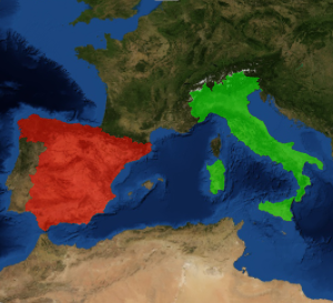
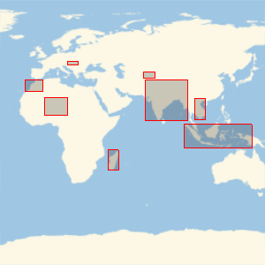
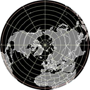
지도 스타일 "CountryBorders"는 다른 GeoGraphics 요소와 함께 사용할 수 있으며, 그 기본 지시자를 변경할 수 있습니다.
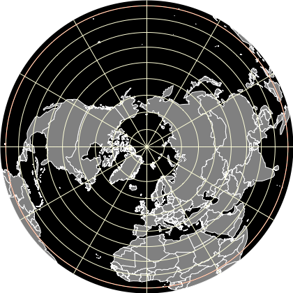
In[3]:=
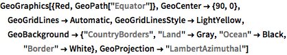
GeoGraphics[{Red, GeoPath["Equator"]}, GeoCenter -> {90, 0},
 GeoGridLines -> Automatic, GeoGridLinesStyle -> LightYellow,
 GeoBackground -> {"CountryBorders", "Land" -> Gray, "Ocean" -> Black,
    "Border" -> White}, GeoProjection -> "LambertAzimuthal"]
Out[3]=