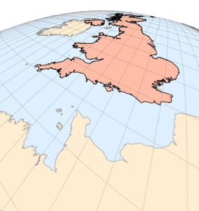
Merge and Modify Maps
Merge maps and modify their options by using Show.
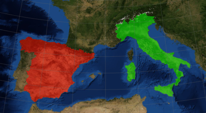
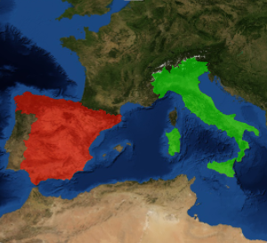
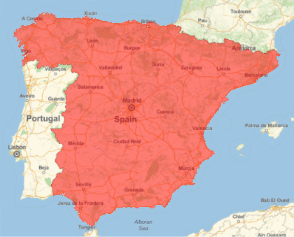
Take two maps, each containing a colored polygon.
In[1]:=
spain = GeoGraphics[{GeoStyling[Red, Opacity[0.5]],
   Polygon[Entity["Country", "Spain"]]}]
Out[1]=
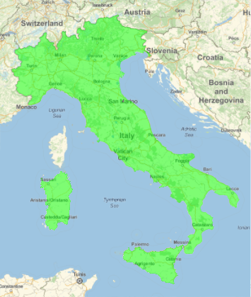
In[2]:=
italy = GeoGraphics[{GeoStyling[Green, Opacity[0.5]],
   Polygon[Entity["Country", "Italy"]]}]
Out[2]=
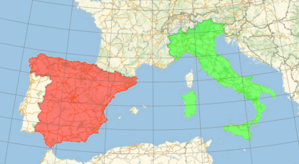
Merge the maps and modify the result, in this case adding geo grid lines.
In[3]:=
Show[spain, italy, GeoGridLines -> Automatic]Out[3]=
Modify the map further, now changing the style of the geo background.
In[4]:=
Show[spain, italy, GeoGridLines -> Automatic];
Show[%, GeoBackground -> "Satellite"]
Out[4]=