測地面積
デフォルトの楕円モデルを使って,地球上の測地多角形の面積を計算する.
地球上の測地三角形の面積.
In[1]:=
polygon = Polygon[GeoPosition[{{0, 0}, {0, 90}, {90, 0}}]]Out[1]=

In[2]:=
GeoArea[polygon]Out[2]=
In[3]:=
GeoArea[polygon];
% == GeoArea["World"]/8
Out[3]=
大陸の面積.
In[4]:=
polygon = EntityValue[Entity["GeographicRegion", "Africa"], "Polygon"]Out[4]=

In[5]:=
GeoArea[polygon]Out[5]=
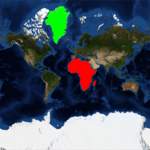
世界中の陸地の面積.
In[6]:=
polygon = EntityValue[Entity["GeographicRegion", "World"], "Polygon"];In[7]:=
GeoArea[polygon]Out[7]=
陸地は,地球の表面積の29%に満たない.
In[8]:=
GeoArea[polygon];
%/GeoArea["World"]
Out[8]=