「GeographicRegion」多角形
新しい地理実体領域"GeographicRegion"で,大陸全体や他の種類の地理実体を表すことができる.
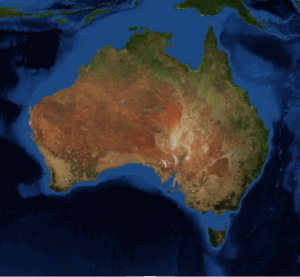
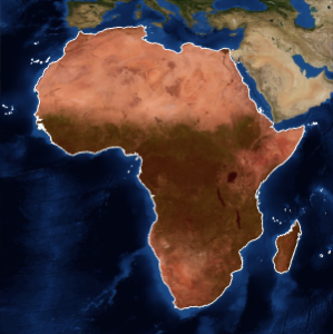
地理領域実体としてのアフリカは,大陸全体を表す.
In[1]:=
africa = EntityValue[Entity["GeographicRegion", "Africa"],
  EntityProperty["GeographicRegion", "Polygon"]]
Out[1]=

In[2]:=
GeoGraphics[{EdgeForm[White], FaceForm[Red], africa},
 GeoBackground -> "Satellite"]
Out[2]=

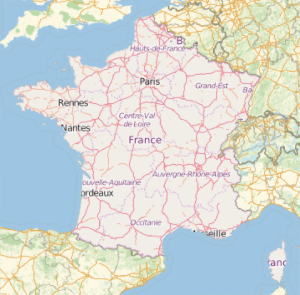
アフリカのすべての国のポリゴンを得ることも可能である。
In[3]:=
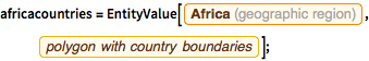
africacountries =
  EntityValue[Entity["GeographicRegion", "Africa"],
   EntityProperty["GeographicRegion", "PolygonCountryBoundaries"]];
In[4]:=
GeoGraphics[{EdgeForm[White], FaceForm[Red], africacountries},
 GeoBackground -> "Satellite"]
Out[4]=